Skip to Content

Water Data Dashboard

Date: Ongoing
Status: Current

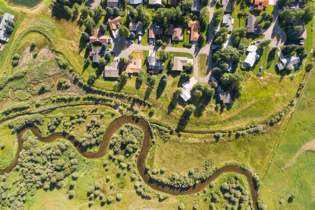
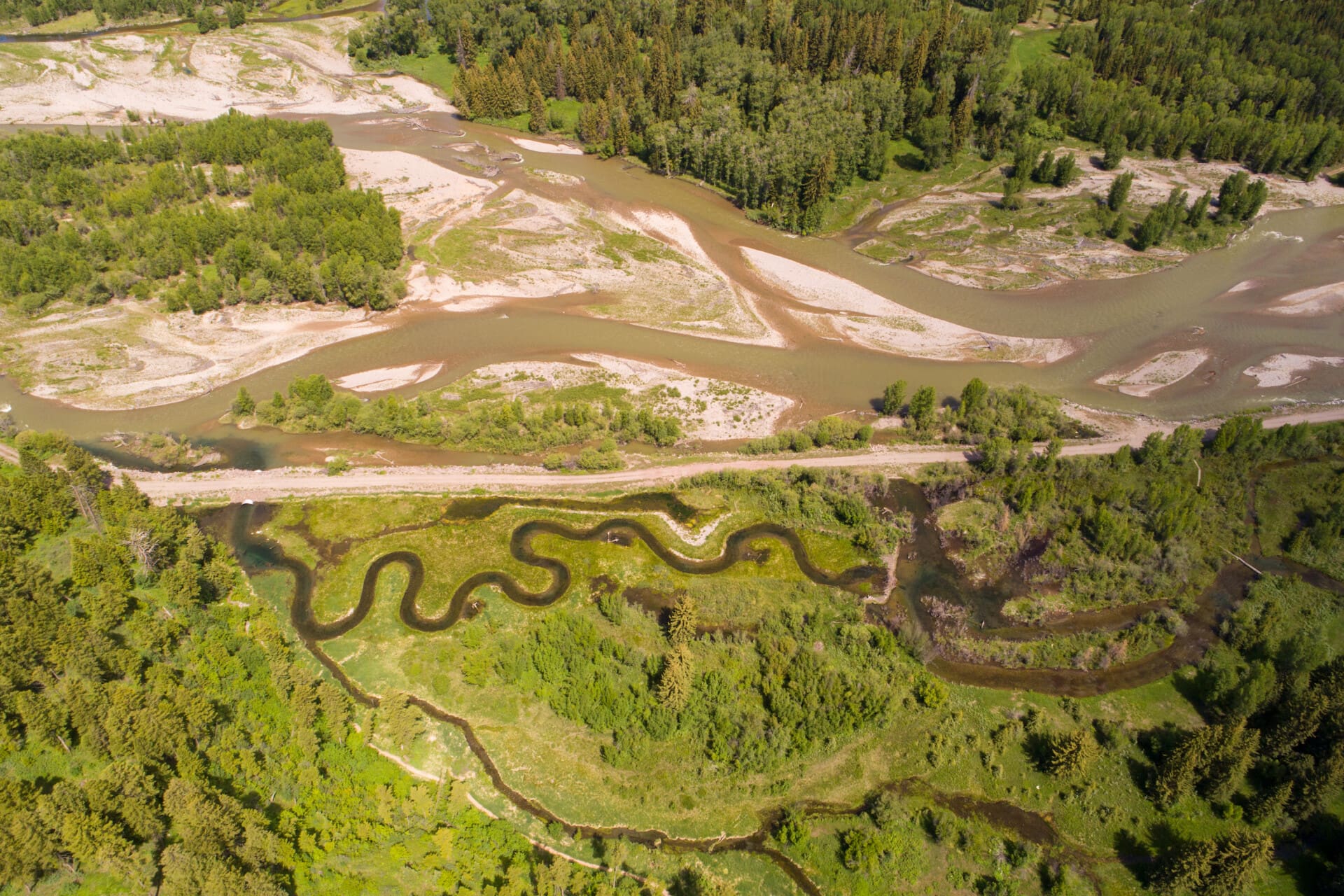
Teton County’s water resources offer countless benefits, from world-class recreation to drinking water for residents and visitors. But these waters are already under significant stress from a range of factors. The better we understand the water in and around our community, the more we can enjoy it and protect its values.

Below is a suite of tools designed to make science-based water data information easy to access and understand. These tools help us get the most out of our time on the water while deepening our understanding of how climate change and human activity affect it, moving us closer to successfully protecting and restoring our irreplaceable water resources.

Quick links:
Regional Water Quality & Quantity Resources 
Harmful Cyanobacterial Algal Blooms
Snowpack Information
Additional Resources
Regional Water Quality & Quantity Resources

USGS Real-Time Stream Flows

With funding and operational support from Teton Conservation District (TCD), U.S. Geological Survey (USGS) streamgages throughout the valley provide important hydrological information to water professionals and the public. You can find real-time stream flow data from four streamgages in Teton County, Wyoming.

View Flow Data on the TCD Website

BOR Reservoir Storage in the Upper Snake River Basin

The Bureau of Reclamation (BOR) operates a network of automated hydrologic and meteorologic monitoring stations located throughout the Pacific Northwest. This network and its associated communications and computer systems are collectively called Hydromet. Remote data collection platforms transmit water and environmental data via radio and satellite to provide cost-effective, near-real-time water management capability. Other information, as available, is integrated with Hydromet data to provide timely water supply status for river and reservoir operations.

View the BOR "Teacup" Diagram

WDEQ Assessed Waters, Surface Water Monitoring Locations, and TMDLs

The Wyoming Department of Environmental Quality (WDEQ) map displays the Assessed Streams and Assessed Lakes, surface water monitoring locations, and watersheds for which Total Maximum Daily Loads (TMDLs) have been completed in Wyoming. View site-specific information, including links to monitoring reports, Fact Sheets, TMDL documents, and data request portals.

View the WDEQ Map

HFF River Conditions

The Henry’s Fork Foundation (HFF) collects water quality monitoring data on the Henry’s Fork and South Fork. View up-to-date information on real-time water quality (water temperature, turbidity [water clarity], and oxygen levels), historic and real-time water quantity, and sign up for a short, daily technical report on water supply and demand in the Henry’s Fork watershed.

View the HFF River Condition Reports

Teton County Parks & Rec Snake River Recreational Map

The Teton County/Jackson Parks and Recreation (Parks & Rec) Snake River Recreational map allows river users to access a free digital map that shows real-time conditions in the Snake River Corridor. The mapping tool is intended to be used on a smartphone, utilizing GPS on the phone to provide accurate, real-time location information along the river. View the link to download the app with fishing or paddling information. It shows information including your location, access points, public lands, river hazards, points of access, river flow data, weather forecasts, recreational easement information, and regulations pertinent to the waterways you’ll float.

View the Snake River Recreational Map

Harmful Cyanobacterial Algal Blooms

Cyanobacteria, also called blue-green algae, can produce cyanotoxins and other irritants, posing risks to human and animal health. The Wyoming Department of Environmental Quality (WDEQ) uses the term Harmful Cyanobacterial Blooms (HCBs) to describe conditions when cyanobacterial blooms are present and may produce toxins. HCBs are also commonly referred to as Harmful Algal Blooms (HABs). Not all cyanobacteria are harmful, but some can produce toxins—and there is no way to tell if toxins are present without testing.

Use the following resources to familiarize yourself with common bloom forms, sign up for bloom advisory updates, and report potential blooms:

WDEQ Harmful Cyanobacterial Blooms

The Wyoming Department of Environmental Quality (WDEQ), the Wyoming Department of Health (WDH), and the Wyoming Livestock Board (WLSB), in collaboration with partners, want to remind the public to avoid and keep animals away from harmful cyanobacteria blooms (HCBs) and to report suspected blooms and bloom-related illnesses

WyoHCBS.org

IDEQ Harmful Algal Blooms

The Idaho Department of Environmental Quality (IDEQ) and the Idaho Department of Health and Welfare (DHW) each play a role in identifying, responding to, and monitoring cyanobacteria harmful algal blooms (HABs).

The health advisory map is available on DHW’s Recreational Water Health Advisories website.

IDEQ Cyanobacteria HABs

EPA bloomWatch

bloomWatch is a participatory science app that allows users to find and report potential cyanobacteria blooms in water bodies. The data users provide help U.S. Environmental Protection Agency (EPA) government scientists to track and manage water quality and help officials protect public health and the environment from harmful blooms. Download the bloomWatch app today to report suspected harmful algal blooms in your community’s water bodies.

EPA bloomWatch

Snowpack Information

Snake River Headwaters SWE

Snow water equivalent (SWE), the amount of liquid water contained in the snowpack, in the Snake River Headwaters Basin. This basin incorporates data from 22 SNOTEL stations stretching from Yellowstone to Togwotee Pass to the Upper Greys River.

What is SNOTEL?
Since 1980, the Natural Resources Conservation Service (NRCS), a close partner of Teton Conservation District (TCD), has operated a network of snowpack and climate sensors known as SNOTEL (short for “SNOwpack TELemetry”). These stations are equipped with sensors that calculate snow depth, snow water equivalent, temperature, and other meteorological data. SNOTEL data is essential for snowpack monitoring, water supply forecasting, resource management, and climate research.

Interested in Teton County’s snowpack and water supply conditions?
Visit the TCD website link below to subscribe for bi-weekly email updates on Teton County’s watershed conditions, covering snowpack, streamflow, soil moisture, reservoir status, and drought conditions.

View SWE Data on the TCD Website

NWCC Snow and Water Interactive Map

The National Water and Climate Center’s Snow and Water Interactive Map is a groundbreaking tool designed to provide farmers, researchers, policymakers, and water management professionals with up-to-the-minute snow survey data and water supply forecasting, including real-time snow and climate data.

View the NWCC Interactive Map

Additional Resources

Wyoming Drought Monitor

The U.S. Drought Monitor (USDM) is a map released every Thursday, showing where drought is and how bad it is across the U.S. and its territories. The map uses six classifications: normal conditions, abnormally dry (D0), showing areas that may be going into or are coming out of drought, and four levels of drought: moderate (D1), severe (D2), extreme (D3) and exceptional (D4).

View the Wyoming Map

Soil Moisture Percentile

Wyoming Water Resources Data System (WRDS) and State Climate Office (SCO) modeled soil moisture percentile from the NOAA Climate Prediction Center.

View the Wyoming Map

USGS Interactive National Water Dashboard

U.S. Geological Survey (USGS) Interactive National Water Dashboard

View the USGS Interactive Map

Related Projects

Community Solutions

Teton County Water Quality Management Plan

Date: Ongoing
Status: Current

POWJH has been a driving force behind Teton County's unprecedented comprehensive water quality planning project that will improve our surface and groundwater resources and protect them from future degradation.

Community Solutions

Water Quality Monitoring

Date: Ongoing
Status: Current

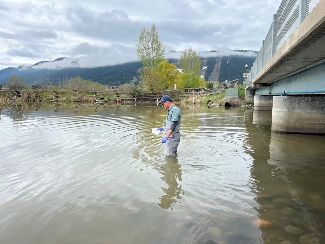
Fish Creek and parts of Flat Creek have been listed on Wyoming’s Impaired Waters list since 2020 for elevated E. coli bacteria. Despite this, regular monitoring of bacteria levels in these waterbodies has not occurred. POWJH launched a collaborative water quality monitoring program in Spring 2023 to provide data critical to safe recreation and informed management of each creek.

The time to act is now.
Donate Volunteer

Support Protect Our Water Jackson Hole today to help us preserve and protect the Snake River watershed for future generations. Take action through volunteering, donating, putting best-practices in place, and raising awareness among community members.

Get Involved